
You're using the new SPRAT website. The site is in beta and we are still making improvements. Give feedback.

Key Ecological Features

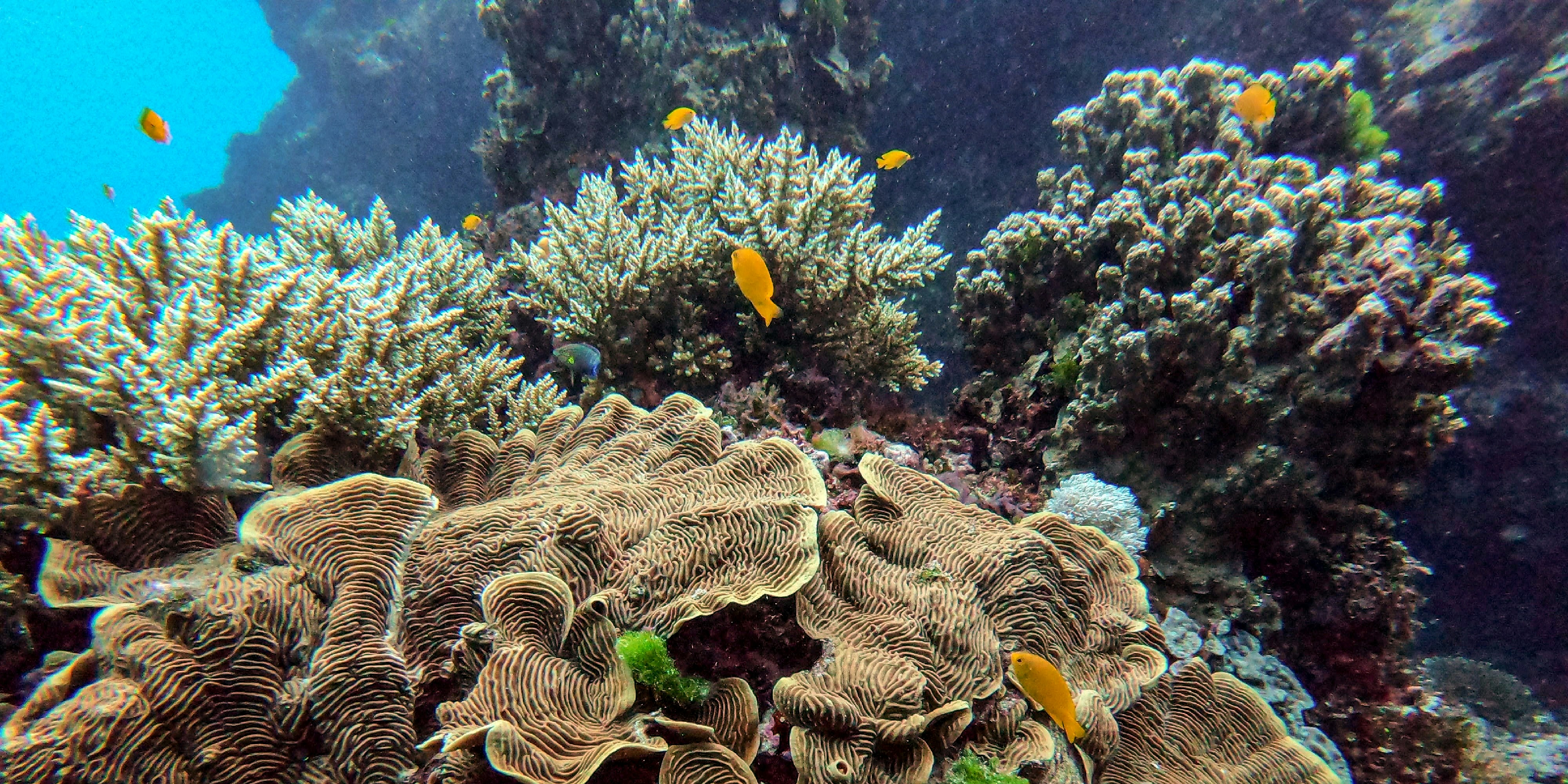
Key ecological features are elements of the Commonwealth marine environment that are considered regionally important for biodiversity or for ecosystem function and integrity. The Commonwealth marine environment is a matter of national environmental significance under the EPBC Act. 

The profiles below are based on marine bioregional plans, scientific reports and other sources. Locations of key ecological features can be viewed  by turning on the Key Ecological Features layer in the Protected Matters Search Tool  and in the Australian Marine Spatial Information System (AMSIS) map viewer under environment and heritage layers. The spatial data is also available to download from the departments environmental data portal.  

Loading...
Name Region
Small pelagic fish of the south-west marine region South-west
Submerged coral reefs of the Gulf of Carpentaria North
Elizabeth and Middleton reefs Temperate East
Gulf of Carpentaria basin North
Gulf of Carpentaria coastal zone North
Plateaux and saddle north-west of the Wellesley Islands North
Continental slope demersal fish communities North-west
Shelf break and slope of the Arafura Shelf North
Tributary canyons of the Arafura Depression North
Carbonate bank and terrace system of the Sahul Shelf North-west
East Tasmania subtropical convergence zone South-east
Ashmore Reef and Cartier Island and surrounding Commonwealth waters North-west
Seringapatam Reef and Commonwealth waters in the Scott Reef complex North-west
Canyons linking the Argo Abyssal Plain and Scott Plateau North-west
Ancient coastline at 125 m depth contour North-west
Glomar Shoals North-west
Mermaid Reef and Commonwealth waters surrounding Rowley Shoals North-west
Exmouth Plateau North-west
Canyons linking the Cuvier Abyssal Plain and the Cape Range Peninsula North-west
Commonwealth waters adjacent to Ningaloo Reef North-west
Wallaby Saddle North-west
Commonwealth marine environment surrounding the Houtman Abrolhos Islands (and adjacent shelf break) South-west
Perth Canyon and adjacent shelf break, and other west-coast canyons South-west
Commonwealth marine environment within and adjacent to the west-coast inshore lagoons South-west
Commonwealth marine environment within and adjacent to Geographe Bay South-west
Cape Mentelle upwelling South-west
Naturaliste Plateau South-west
Diamantina Fracture Zone South-west
Albany canyon group and adjacent shelf break South-west
Ancient coastline between 90 and 120 m depth South-west
Kangaroo Island Pool, canyons and adjacent shelf break, and Eyre Peninsula upwellings South-west
Meso-scale eddies (several locations) South-west
Demersal slope and associated fish communities of the Central Western Province South-west
Western rock lobster South-west
Benthic invertebrate communities of the eastern Great Australian Bight South-west
Bass cascade South-east
Carbonate bank and terrace system of the Van Diemen Rise North
Pinnacles of the Bonaparte Basin North, North-west
Tasman Front and eddy field Temperate East
Shelf rocky reefs Temperate East
Canyons on the eastern continental slope Temperate East
Upwelling off Fraser Island Temperate East
Lord Howe seamount chain Temperate East
Norfolk Ridge Temperate East
Reefs, cays and herbivorous fish of the Marion Plateau Coral Sea
West Tasmania Canyons South-east
Reefs, cays and herbivorous fish of the Queensland Plateau Coral Sea
Shelf rocky reefs and hard substrates South-east
Seamounts south and east of Tasmania South-east
Big horseshoe canyon South-east
Bonney coast upwelling South-east
Upwelling east of Eden South-east
Tasmantid seamount chain Coral Sea, Temperate East
Commonwealth marine environment surrounding the Recherche Archipelago South-west

We acknowledge the Traditional Owners of Country throughout Australia and recognise their continuing connection to land, waters and culture. We pay our respects to their Elders past and present. 

© Department of Climate Change, Energy, the Environment and Water